Newtown Creek Vision Plan
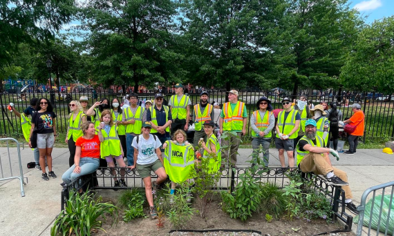
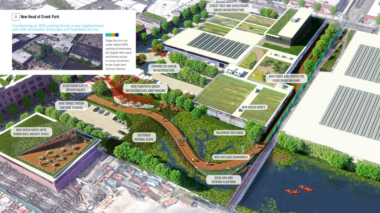
In 2018, NCA, Riverkeeper and Perkins+Will launched the Newtown Creek Vision plan, a 150 page report chronicling priority issues and 85 proposed projects to address Remediation, Restoration, Recreation and Resilience. The report builds upon decades of planning and visioning efforts by numerous community members and organizations; framing ideas in the wake of upcoming Superfund remediation and Clean Water improvements. Read the full plan here.